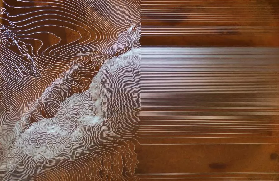
HL 504-4 G2 / 08052014 - 17072014
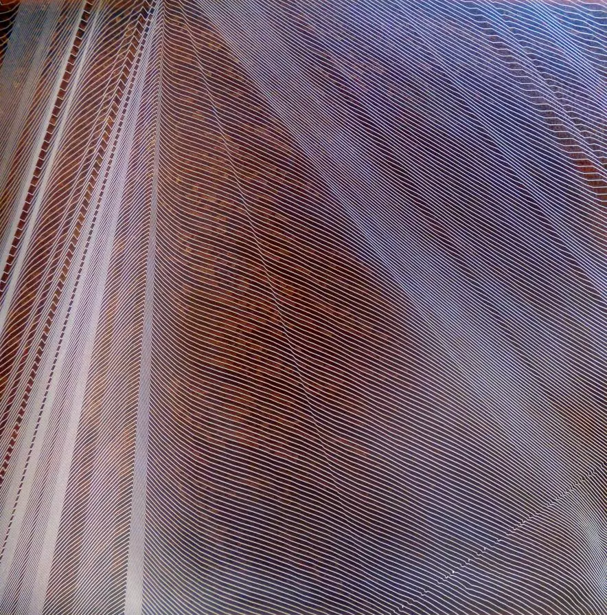
CONTOUR LINES Beforehand, selected maps with contour-lines are transfered on metal sheets. Then they are placed outside in the respective landscape - on a mountain top, in the forest or into a lake. The water and the corrosion displays a tecnical view of this landscape. This works are largely sitespecific, owing much of its appearance to the conditions of the outdoor space. The place copies itself on the sheet.
HL 1205-2 F / 11062015 - 09072015
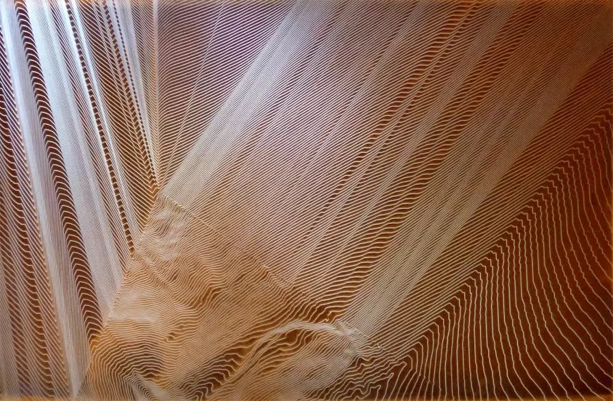
CONTOUR LINES Beforehand, selected maps with contour-lines are transfered on metal sheets. Then they are placed outside in the respective landscape - on a mountain top, in the forest or into a lake. The water and the corrosion displays a tecnical view of this landscape. This works are largely sitespecific, owing much of its appearance to the conditions of the outdoor space. The place copies itself on the sheet.
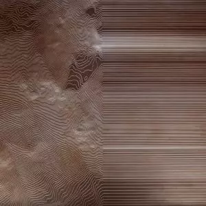
HL 504-4 G2 / 08052014 - 17072014
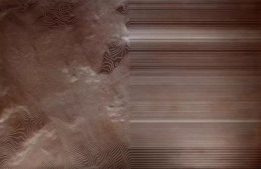
CONTOUR LINES Beforehand, selected maps with contour-lines are transfered on metal sheets. Then they are placed outside in the respective landscape - on a mountain top, in the forest or into a lake. The water and the corrosion displays a tecnical view of this landscape. This works are largely sitespecific, owing much of its appearance to the conditions of the outdoor space. The place copies itself on the sheet.
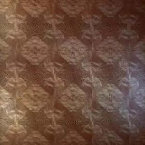
HL 504-4 G64 / 08052014 - 17072014
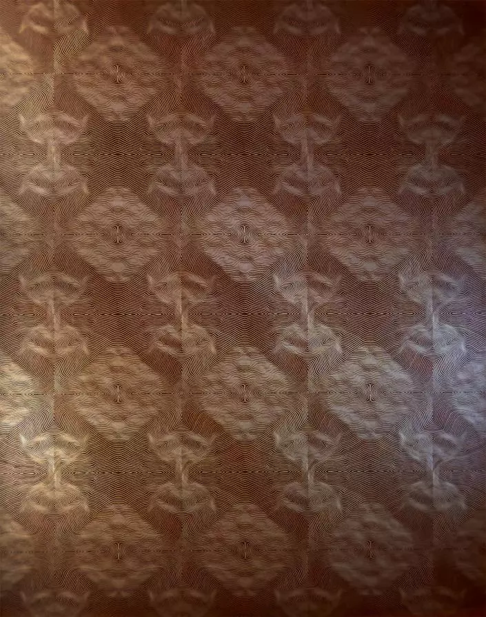
CONTOUR LINES Beforehand, selected maps with contour-lines are transfered on metal sheets. Then they are placed outside in the respective landscape - on a mountain top, in the forest or into a lake. The water and the corrosion displays a tecnical view of this landscape. This works are largely sitespecific, owing much of its appearance to the conditions of the outdoor space. The place copies itself on the sheet.
HL 504-4 G2 / 08052014 - 17072014
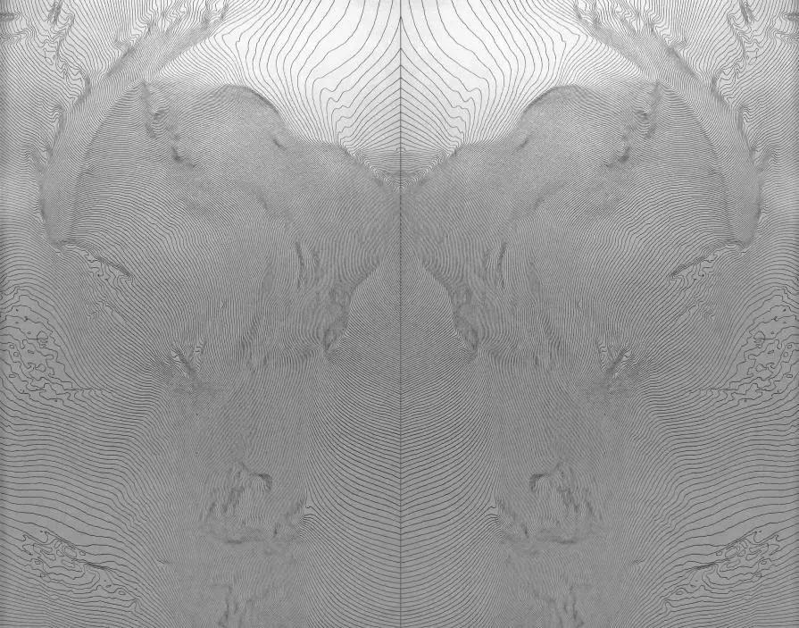
CONTOUR LINES Beforehand, selected maps with contour-lines are transfered on metal sheets. Then they are placed outside in the respective landscape - on a mountain top, in the forest or into a lake. The water and the corrosion displays a tecnical view of this landscape. This works are largely sitespecific, owing much of its appearance to the conditions of the outdoor space. The place copies itself on the sheet.
HL 713-1 G4 /15012013-17052013
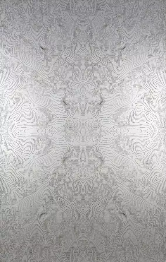
CONTOUR LINES Beforehand, selected maps with contour-lines are transfered on metal sheets. Then they are placed outside in the respective landscape - on a mountain top, in the forest or into a lake. The water and the corrosion displays a tecnical view of this landscape. This works are largely sitespecific, owing much of its appearance to the conditions of the outdoor space. The place copies itself on the sheet.

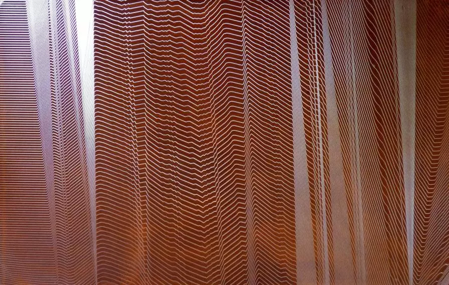
HL 711-1/02032013-21052013

CONTOUR LINES Beforehand, selected maps with contour-lines are transfered on metal sheets. Then they are placed outside in the respective landscape - on a mountain top, in the forest or into a lake. The water and the corrosion displays a tecnical view of this landscape. This works are largely sitespecific, owing much of its appearance to the conditions of the outdoor space. The place copies itself on the sheet.
Nova Orbis Tabula in lucem edita
MDMM are contemporary cartographers in the uncharted sea of data. The introduction of Google Earth was a historic moment of the Internet. Never before anyone (except cosmonauts and co.) has seen the Earth from this perspective. Weightless, we can now glide over it, zoom in on it and at the same time focus on different places. During their expeditions in new territories of digital maps, Markus Drassl and Michael Meraner search for unknown perspectives and structures in their immediate, seemingly familiar surroundings. Furthermore, they contrast digital orthophotos with radically simplified terrain models.
In the images of MDMM everything has disappeared except the contour lines of the mountain landscapes. By utilizing rust, Markus Drassl and Michael Meraner draw the delicate contours of the Ortler area, the Val Senales, the Tre Cime di Lavaredo or the Mitterberg on standardized steel sheets. By exposing prepared metal plates to the rain, over time fine color nuances appear together with smallest kaleidoscopic structures. These snapshots are then permanently captured with different types of oil (in a secret, alchemical process) on the corten steel. A picturesque and at the same sculptural practice.
In some of the images the contour lines extending over the whole image area bend abruptly, only to diverge then radially, resembling in this way to a tissue that is about to dissolve. Other times the lines continue to run parallel and transform the depicted landscape in a bar code. By mirroring map details, MDMM generate a further alienation of the terrain model and create thus potentially endless reproducible invented landscapes. On other sheets, in turn, a "glitch" in the lines can be detected. MDMM are deliberatly looking for these distortions in the terrain model, which are caused by faulty connections of different images. White stains emerge thus on the maps of MDMM, similar to those where the monsters and dragons have been settled long time ago.
Maps tell stories. They are closely related to our history and reorganize it at the same time repeatedly. Balances of power, fears, colonial ambition, curiosity and scientific progress are reflected on them. The digital revolution had a main impact on cartography: equipped with GPS and navigation systems, it is now more than ever an art to lose ones way. MDMM are masters in this art of getting lost. They roam in the world of digital maps, linger in places whenever they feel like it and set coordinates at their own pleasure and discretion. MDMM are contemporary, subversive topographic surveyors. In our world of total visibility they resemble the protagonists K. of Franz Kafka's novel "The Castle", who is mistrusted and presumed to be rather "a common tramp, and probably worse".
 Share / Save


Commenti 4
Inserisci commento