
")
Laudakia stellio(cypriaca)
")

Andrey


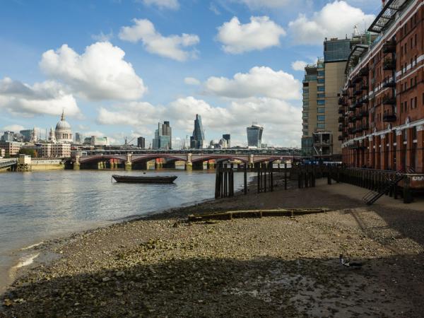
Limassol Port


Red Arrows rainbow


The beach


Antennas


My hand


Madinna and Jessy


Lady

Lady's mile
Stelios Kallinikou presents a selection of photographs from his on going exploration of Lady's Mile, a 7km stretch of undeveloped flat sand that stretches down the east coast of the Akrotiri peninsula in Limassol/Cyprus, and the surrounding areas. The beach is located within the British Western Sovereign Base Area, one of two territories (the other being Dhekelia) controversially retained by the British under the 1960 treaty of independence. 'Lady’s Mile' received its name from the British governor, who used to exercise his horse, 'Lady', along this coastal stretch. For many local Cypriot families Lady's Mile remains a beloved beach. Neither a place nor a non-place, neither Cypriot nor non-Cypriot, Lady's Mile is more akin to a mutated dream set. South of the beach are the guarded RAF bases where fighter planes can often be seen and heard training; gigantic British radio-listening communication antennas loom over the landscape, their presence an on going heated concern for locals worried about radiation emissions; sand dunes are exploited by motocross enthusiasts and the open space by model airplane aficionados; vessels up to 250m long can be seen plodding in the north of the beach, where lies Cyprus' largest and busiest seaport, also an evacuation point for refugees fleeing conflicts in the Middle East; and lastly, the large marshy Akrotiri salt lake is only a few hundred meters away, considered one of the Eastern Mediterranean's most important wetlands, attracting thousands of wading birds and Greater Flamingos, stopping over during migration between Africa and Europe. These diverse cultural, historical, geographic and natural elements, coexisting side-by-side, conjure an otherworldly aesthetic that challenges our presuppositions of what makes up a geographic identity.


")


Commenti 0
Inserisci commento